
Published: 3 August 2026
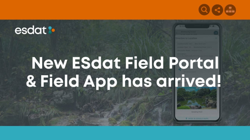
ESdat is pleased to announce the release of its redesigned Field Portal and Field App, bringing a refreshed interface and several long-requested capability upgrades to environmental field data collection.
The update has been designed to make fieldwork simpler, more informative, and easier to navigate while retaining the familiar concepts and workflows existing ESdat users already know.
What's new?
The redesigned Field Portal and Field App introduce:
-
Navigation to sample locations
-
Access to historical result ranges
-
Text-based stabilization results
-
Offline basemaps
-
A modernized look and feel
These enhancements give field teams more useful information at the point of collection. Location navigation and offline basemaps can help staff work efficiently across large or remote sites, while historical ranges provide valuable context when reviewing new measurements. Clearer stabilization results also help users assess field readings as sampling progresses.
Release schedule
The redesigned Field Portal and Field App are being rolled out according to the following schedule:
-
ESdat Online Australia: 27 July
-
ESdat Online USA, Canada and United Kingdom: 3 August
-
ESdat Server (Hosted): From 10 August
Existing users should find that the redesigned app retains ESdat's established fieldwork concepts while providing a cleaner, easier-to-use experience.
Connecting fieldwork with the complete environmental data workflow
ESdat is an environmental data management platform built for scientists, engineers and environmental professionals. It brings together information from laboratories, field programs, data loggers, sensors, historical sources and regulatory standards in one system, helping organizations manage, analyze and report their environmental data more efficiently.
The platform is used across environmental consulting, mining, industry, government and landfill operations. Its broader capabilities include laboratory-data integration, quality assurance, mapping, trend analysis, regulatory-standard comparisons, exceedance notifications and reporting. Data can also be connected with platforms such as Power BI, ArcGIS and Excel or shared through APIs and public portals. Learn more about ESdat.
Supporting field programs from planning to reporting
ESdat's Field Programs functionality supports the full lifecycle of large, recurring and ad-hoc environmental monitoring programs.
Project teams can use ESdat to:
-
Define monitoring and sampling locations
-
Specify field parameters and other information to be collected
-
Plan laboratory samples, analyses and containers
-
Schedule recurring monitoring events
-
Assign work to field personnel
-
Track upcoming, overdue and completed activities
-
Review uploaded field results
-
Prepare and submit electronic chains of custody
-
Review and approve field and laboratory data
-
Produce field reports and monitor pending laboratory requests
This connected workflow gives field personnel a clear view of the work to be completed while allowing project managers to monitor progress and review incoming information.
Purpose-built environmental field data collection
The ESdat Field Portal works through a modern web browser on computers, tablets and smartphones. The Field App extends that experience with offline operation and additional field capabilities.
It is optimized for activities including groundwater, surface-water, soil and landfill-gas monitoring. Depending on an organization's configuration and licensing, teams can use it to record:
-
Site and location observations
-
Notes and custom attributes
-
Groundwater levels
-
Field parameters and stabilization readings
-
Photographs
-
Laboratory sample information
-
Electronic chain-of-custody details
Teams can complete monitoring rounds prepared in advance through ESdat Field Management or collect data on an ad-hoc basis. When an internet connection is available again, information collected offline can be synchronized with ESdat, making it accessible to office-based staff for supervision, review, approval and reporting.
Within the ESdat workflow, a Monitoring Round represents a monitoring or sampling event. Each round can contain multiple Location Visits, representing individual visits to sampling or monitoring points. These familiar concepts remain central to the redesigned experience.
More information about using the Field Portal and Field App is available in the ESdat Knowledge Base.
A smoother experience in the field
The redesigned Field Portal and Field App build on ESdat's established field-data workflow with better navigation, more context and improved offline support. The result is a more streamlined experience for field staff and a stronger connection between planning, field collection, laboratory processes and final reporting.
Existing users can continue working with familiar ESdat concepts while benefiting from the updated design and expanded functionality.
Please contact your ESdat Support Representative if you have any questions about the release or its availability for your organization.
More information on Environmental Data Management
Categories
Data Management
Keywords
Field Programs, Field Portal